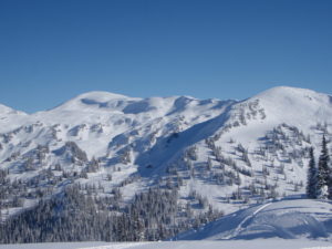
Allan Creek is a sledders heaven
The Experience
The Allan Creek trail is the first to open each season in the Valemount area and its lakes, bowls, meadows, and steep hills make it a favorite. With elevation ranges from 5500 ft.–7500 ft., this is a very large area and only the experienced should travel to the far ends.
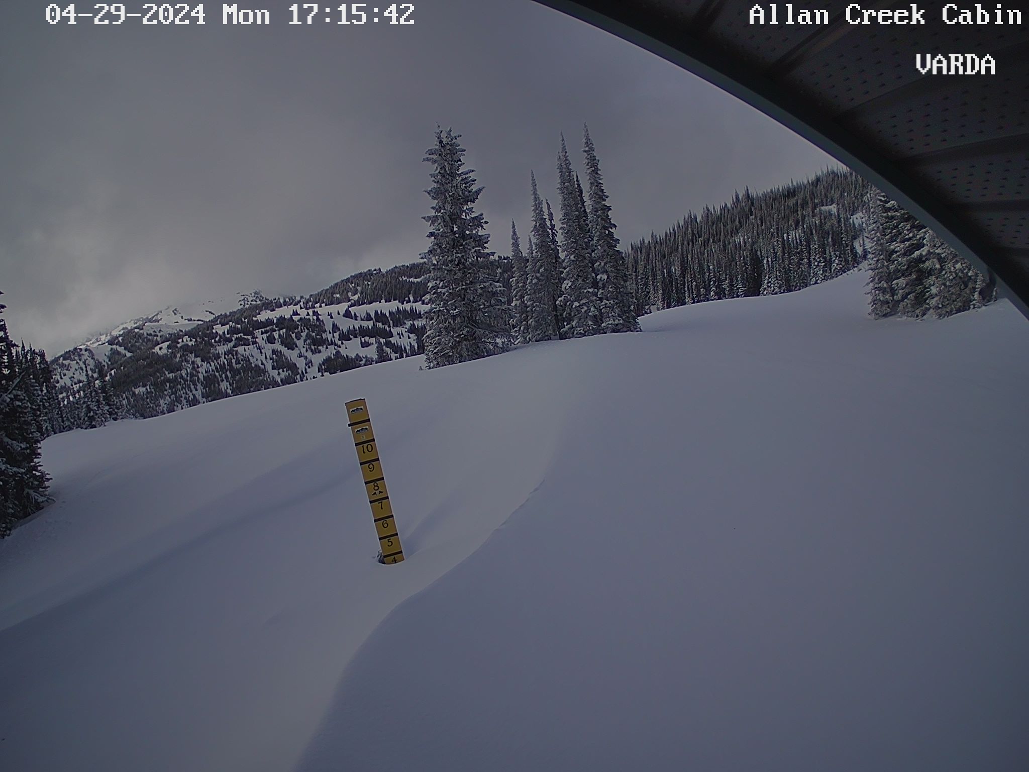
Family riding can be found around the cabin and lakes as soon as you enter the alpine. Please sign in and out in the cabin record book. Cabin GPS location: N 52.577228 lat W 119.160908 long.
NOTE: To download the GPS info located on the right, right click the Download GPS button and click “save link as” then save it to your computer. This file can be used with all GPS devices.
Grooming
The 8 km trail from the parking lot to the cabin is regularly groomed with a fast elevation gain that gets you up top in a hurry. It can be done by children, but expect some steeper sections. To view groomed access trails, click HERE.
Trail Access and Parking
The trailhead parking lot is 35 km south of Valemount, just off the west side of Highway 5.
Wildlife Closure Areas
This area has Wildlife Closure areas for the endangered Mountain Caribou. To be safe, any treed area between the main Allan alpine area and the highway should be considered Caribou terrain. Please watch for signs. NOTE: The forest service road know as the “back way in” is closed for Wildlife and will be patrolled by Conservation Officers who are authorized to ticket on infractions. Second offenses may be subject to equipment confiscation.